


Zelengora Lakes – Mountain Eyes
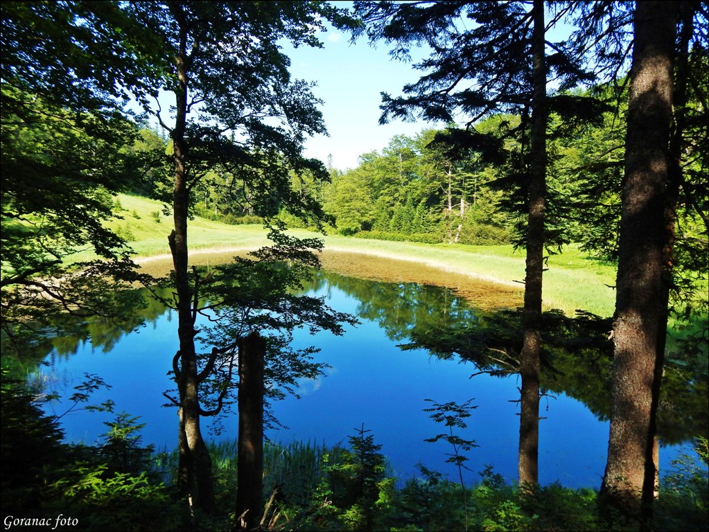
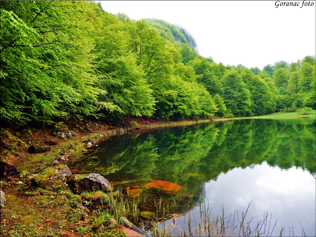
Water is the source of life, it refines nature of completes its pure beauty. A special charm Zelengora has due to its “mountain eyes” – clear glacial lakes, located in the very bases of its peaks. These lakes are real gems scattered by God’s hand, and as such represent a true paradise for nature lovers. The natural environment of the lake is untouched nature that provides a magnificent view to crystal-clear water. This scene is very difficult to find nowadays – the magical image of the lake, crowned by majestic mountains and wild nature.
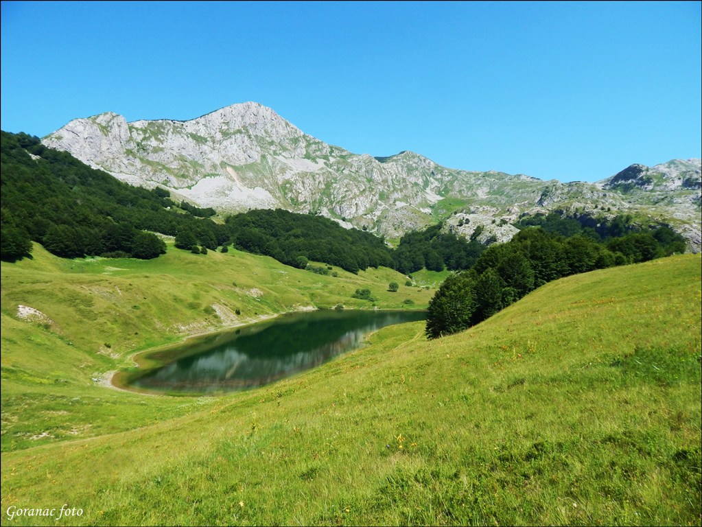
Orlovac Lake
A glacial lake at an altitude of 1500 m, located between the peaks of Ljeljen (1765 m), Orlovac (1965 m), and Stog (821 m). The length of the lake is about 250 m, width is 120 m and depth is up to 4 m. The lake is home to brook trout, Arctic char and rainbow trout.
Donje bare
It is located at the foot of the northeast side of Mount Trnovice with its peak Planinica (1722 m). On the north-eastern side of the lake, alpine meadows stretch with depressions grouping small ponds rich in marsh flora. The lake is at about 1500 of altitude, 200 m long, 140 m wide, the deepest point being 4 m. The lake receives spring water from all sides, and one of them is one of the greatest springs located on the west side. The lake water flows off through underground canals.
Gornje Bare
This lake is situated on the eastern slopes of Uglješa’s peak (1858 m), Tovarnice massif, and between the peaks Dobra (1795 m) and Planinica (1722 m). The lake is about 2 km away as the crow flies from Donje bare at an altitude of 1550 m. Most of the lake is covered with marsh flora.
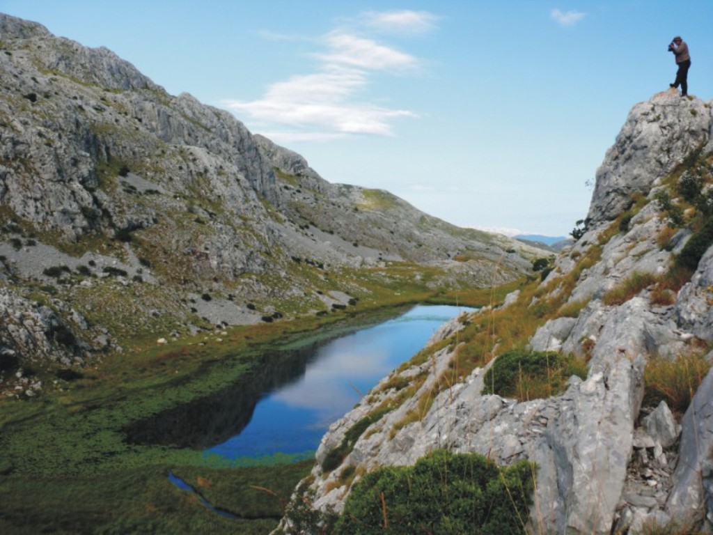
Crno jezero (Black Lake)
It is located in the basin of north-west slopes of Mount Zelengora, under Mount Vrbničke Kolibe (1622 m) at an altitude of 1450 m. Lake basin is oval-shaped, of 80 m in length and 1-1.5 m in depth. The shoreline is swampy, with black mold covering not only the coast but the bottom as well, and therefore the name Black Lake. From the northwest, there is Mount Orlovača covered in spruce, and on the south-east side is the beech forest, stretching all the way to the lake.
Bijelo jezero (White Lake)
White Lake is situated at the end of wooded north-western slopes of Mt. Zelengora, surrounded by peaks of Mt. Orlovac (1960 m) and Trebova massif at an altitude of 1417 m. The lake is round in shape with of 400 m in diameter and the maximum depth of 4 m. At the bottom of the lake there are laminar white rocks with sand, while the spring is on the south-east side of the lake. On the north side of the lake, the water flows off forming a small creek.
Štirinsko Lake
This is the largest lake in Mt. Zelengora. It is very shallow and its water never freezes to the very bottom. The lake is at 1275 masl (metres above sea level). The length of the lake is about 600 m, the width is 350 m and depth is about 2.5 m. The lake shores are mildly sloped, with yellowish-grey sand, worn stones and covered with a wide stretch of water grass in which wild ducks hatch. The lake is located below north-eastern branches of Durmoska mountains, between the heights of Klek (1810 m) and Osredak (1832 m).
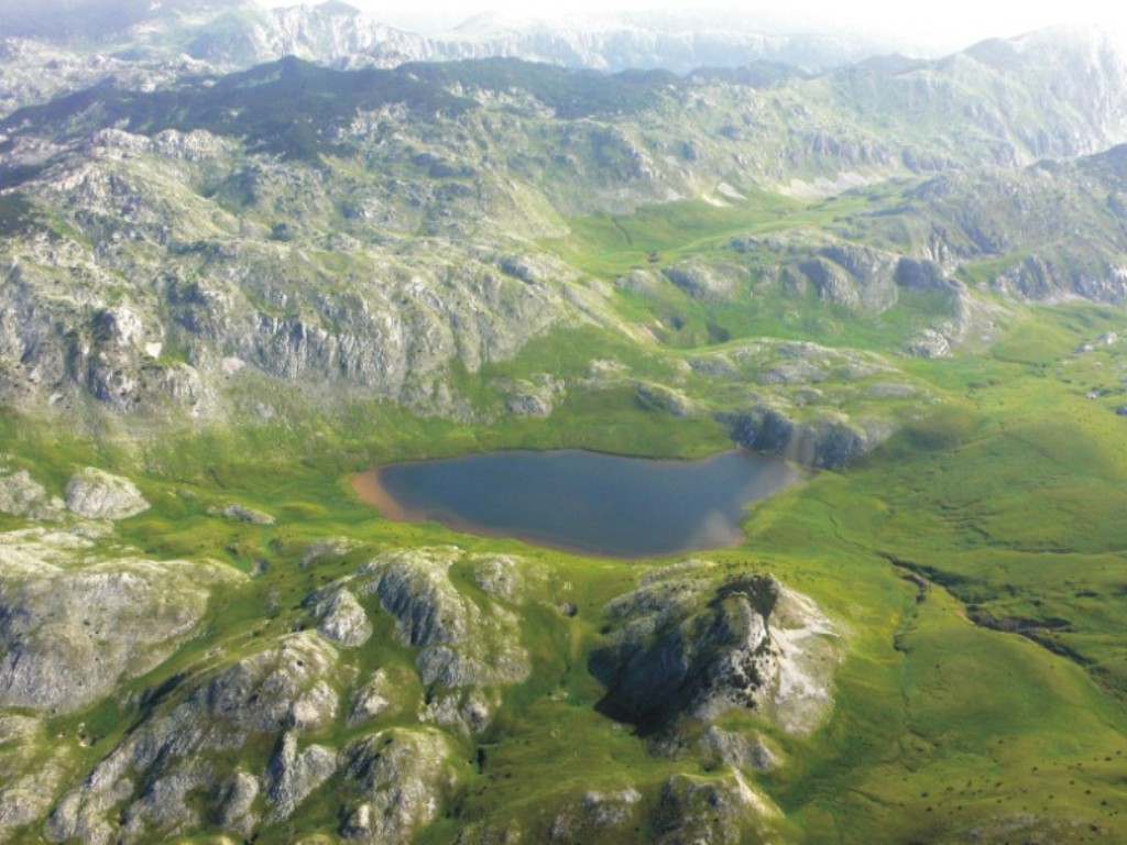
Kotlaničko Lake
It is located at an altitude of 1514 m, about 4 km south of Štirinsko lake. Lake Kotlaničko lies between mountains of Dumos (1879 m), Prutača (1813 m), Klek (1810 m) and Zimovača (1783 m). The length of the lake is 6 km and the width is 80 – 120 m. In the southern part of the lake, beneath the rocks by a large stone, the lake flows into a karst pit and, according to the natives, springs out about 5 km to the south, in the place called Pridvorica. The lake is pear-shaped, with the maximum depth of almost 7 m. The water colour is natural emerald green from the reflection of plants that cover almost the entire lake.
Lake Borilovačko
Borilovačko, or Jugovo lake is the only artificial lake in Mt. Zelengora. It is surrounded by the peaks Kalelija and Stog. The lake is about 250 m long and 100 m wide. It is at 1450 masl. The lake is stocked with rainbow trout every year. It is 24 km away from Čemerno and is accessed by a macadam road.
Lake Kladopolјsko
It is located in Kladovo field, in a beautiful canyon. It is surrounded by Mt. Muravska strana (1602 m) and Mt. Planinica (1583 m). A large number of creeks flows into the lake throughout the year. The water from the lake flows off as a stream and then sinks. A strange name of the lake comes from the large number of logs (Serbian: klada) lying at the bottom of the lake. Nobody knows where the logs came from as there is no forest around the lake.


