


Ugljevik
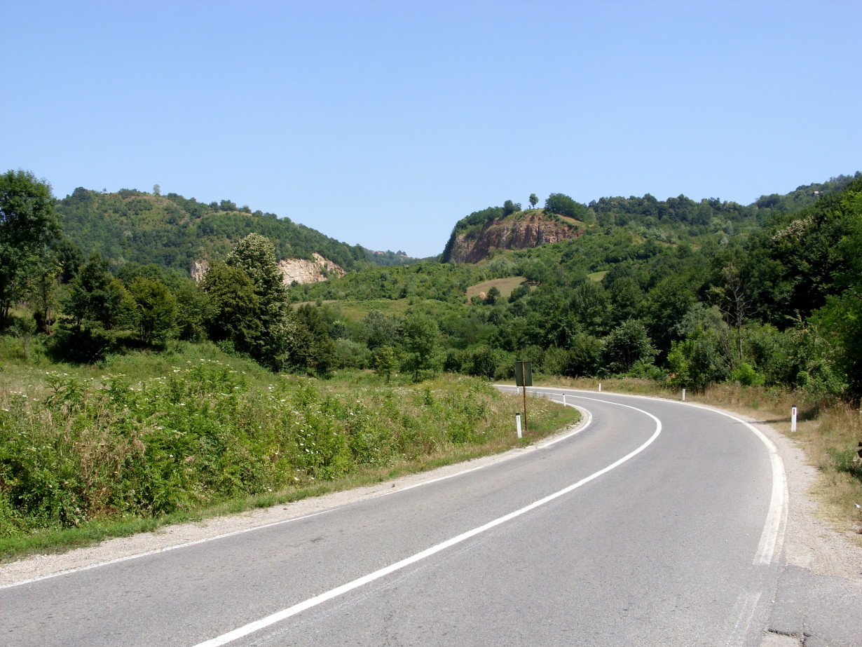
Ugljevik municipality is located in the central part of Republic of Srpska, on the eastern slopes of the Mount Majevica towards Semberija. The urban part of Ugljevik, with the administrative centre, is located on the twentieth kilometre of the regional road Bijeljina – Tuzla.
The municipality area of 164 km2 is bordered with the municipality of Bijeljina from the east and north, Lopare in the west, while its southern neighbours are municipalities of Zvornik and Teočak. The altitude is between 142 and 625 m.
The centre of the municipality is the town of Ugljevik, located on the M-18 main road Bijeljina-Tuzla, in the centre of the former Yugoslavia, in Republic of Srpska and Bosnia and Herzegovina. It is about 50 km from Beograd – Zagreb highway.
Some of the available tourist sites are: Lake Mezgraja, the lake in Ugljevička Obrijež, “Radina Lakes”, Tavna Monastery from the 13th century in Trnova, Jablan castle from the Middle Ages, the small River Domana and hajduk Novak’s cave in Krćina, Rudar FC stadium, Ugljevik swimming pools and the accompanying tennis courts.


